
Description
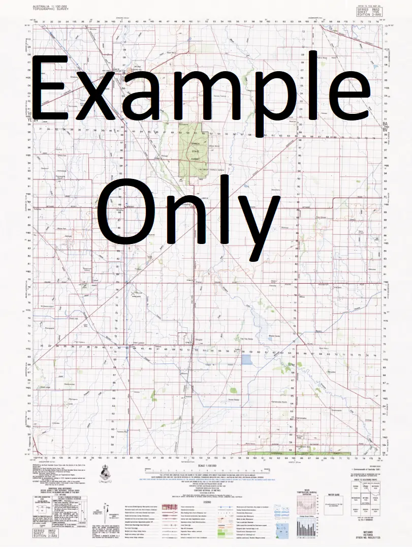
This Topographic Map is produced by Geoscience Australia; Australia’s national geospatial organisation.
GA topographic maps (many of which are produced in partnership with the Army) are generally older than those maps produced by the State Governments over the same area. This makes GA maps particularly useful for identifying historic features, such as old mines and diggings.
Geoscience Australia maps generally considered to be more pleasing in design and compilation then the more modern State Government productions.
At this scale, 1cm on this map represents 1km on the ground. A standard map (which is square) covers an area of approximately 54km by 54km, with a contour interval of 20m. This map contains natural and constructed features including road and rail infrastructure, vegetation, hydrography, contours, localities and some administrative boundaries.
Please note the date of the map, as this will impact the currency of information, particularly regarding infrastructure, roads, etc.
Locations within this Map
Back Creek Banangalite Banangalite State Forest Banangalite Tank Barratta Creek Or Lagoon Barratta Lagoon Or Creek Town of Barratta Barratta Barratta Creek Barratta Creek State Forest Billabong Black Swamp Tank Black Swamp Creek Black Swamp Black Dog Creek Bingellibunbi Booroorban Boree Boree Bore Box Creek Brassi Village of Brassi Calimo Camerons Weir Carroonboon Carroonboon Creek Carroonboon North Clarkes Creek Cockrans Creek Colimo Colligen Creek Colligen Weir Cooee Creek Cooey-Hoo Creek Cooks Ridge Coopers Swamp Cootnite Cooyeo Creek Dahwilly Dahwilly Main Channel Eight Mile Creek Eight Mile Dam Ess Creek Estuary Creek Five Corners Flood Creek Forest Anabranch Four Mile Dam Gonawarra Gwynnes Creek Horseshoe Lagoon Jacksons Weir Jumping Sandhills Kangaroo Creek Kerranakoon Calimo Station Cockrane Creek Cockran Creek Cockran’s Creek Collingen Creekweir Cooey Hoo Creek Town of Darwilly Deep Creek Viii Mile Dam Forest Creek 4 Mile Dam Iv Mile Dam Hobbs Well Jackson Dam Kieta Creek Kirrabirri Lagoon Dam Little Niemur River Main Canal Mallee Marago Tank Mary Kelly Creek Middle Creek The Middle Creek Monimail Moonacullah Moonacullah Cemetery Moonahcullah Moonahcullah Cemetery Moonahcullah Public School Morago Morago State Forest Morago Tank Mortimers Dam Mortimers Weir Mutton Gut Lagoon The Mutton Gut Niemur Anabranch North Zara Officer Old Morago Peppin Peppin Park Peremegig Sand Hill Pretty Pine Pretty Pine Recreation Reserve Ricketson South Zara Stanaforth Stevens Weir The Three Sisters 3 Miles Three Sisters Swamp Toke Creek Trotting Cob Hill Tumudgery Tumudgery Creek Turn Back Jimmy Turn Back Jimmys Watercourse Two Mile Creek Union Dam Wakool Main Canal Wakool River Syphon Wakool Weir Walkers Ridge Wandi Creek Wanganella Wanganella Cemetery Wanganella Creek Wangonilla Wargam Warwillah Werai Werai State Forest Winter Woonox Yallakool Yallakool Creek Yallakool Creek Weir Yallakool Escape Yallakool Weir Dillons Swamp Devon Dulverton Bundyulumblah Mulwala No 22 Channel Stud Park The Ranch Cooroonboon Browns Creek Booabula East Claverley IV Mile Dam Baratta VIII Mile Dam Redbank Union Creek Collingen Creek Weir Royston
Explore more from our collection.


Reviews
There are no reviews yet.