
Description
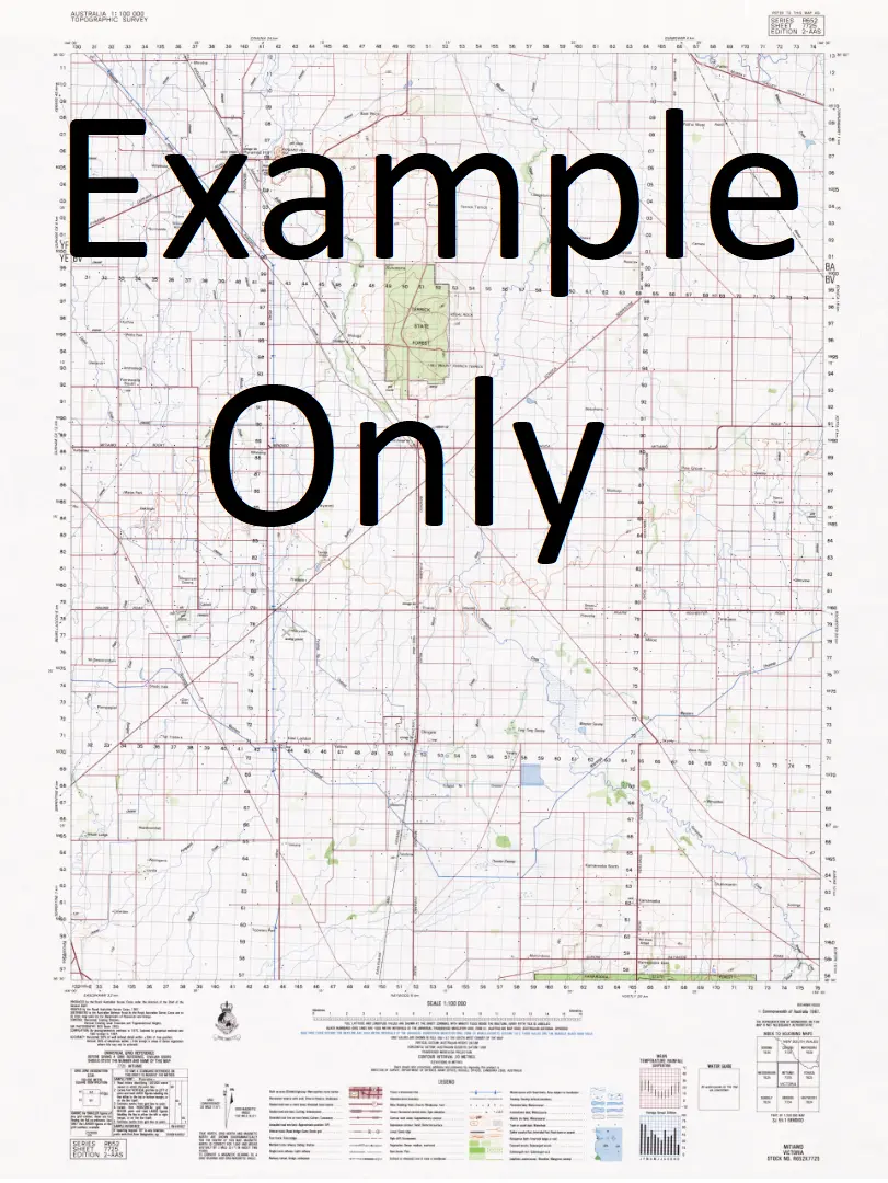
This Topographic Map is produced by Geoscience Australia; Australia’s national geospatial organisation.
GA topographic maps (many of which are produced in partnership with the Army) are generally older than those maps produced by the State Governments over the same area. This makes GA maps particularly useful for identifying historic features, such as old mines and diggings.
Geoscience Australia maps generally considered to be more pleasing in design and compilation then the more modern State Government productions.
At this scale, 1cm on this map represents 1km on the ground. A standard map (which is square) covers an area of approximately 54km by 54km, with a contour interval of 20m. This map contains natural and constructed features including road and rail infrastructure, vegetation, hydrography, contours, localities and some administrative boundaries.
Please note the date of the map, as this will impact the currency of information, particularly regarding infrastructure, roads, etc.
Locations within this Map
Bluebell Waterhole Bowler Creek Brown Creek Bullocky Creek Cassidy Creek Cattle Creek Dead Cow Lagoon Dinner Camp Lagoon Elizabeth Creek Five Mile Lagoon Gamboola Gum Creek Henderson Lagoon Horse Lagoon Horseshoe Lagoon Louisa Creek Manvers Milbank Munster Nolan Creek Orford Power Creek Powis Radnor Sandy Creek Theresa Creek Wallaby Lagoon Walsh Walsh River Wrotham Park Wrotham Water Facility Lyndside Wrotham Reid Creek Mouth Organ Yard Bowler Well Sugarbag Well Lightning Well Walsh Telegraph Station Four Mile Well Plain Paddock Well Police Well Boomer Camp Yard Sugarbag Creek
Explore more from our collection.


Reviews
There are no reviews yet.