Description
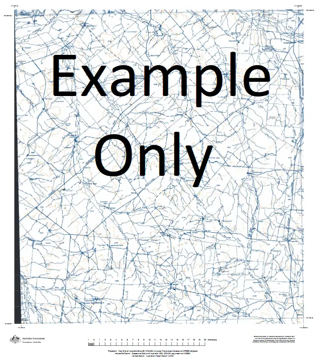
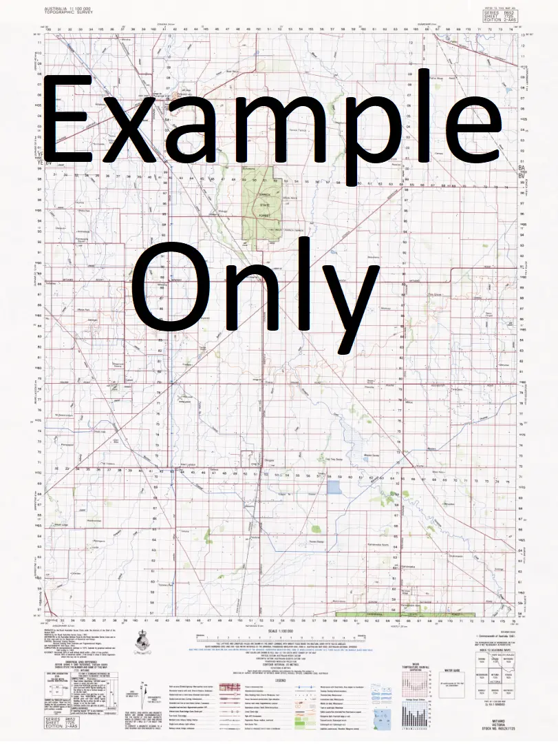
This Topographic Map is produced by Geoscience Australia; Australia’s national geospatial organisation.
GA topographic maps (many of which are produced in partnership with the Army) are generally older than those maps produced by the State Governments over the same area. This makes GA maps particularly useful for identifying historic features, such as old mines and diggings.
Geoscience Australia maps generally considered to be more pleasing in design and compilation then the more modern State Government productions.
At this scale, 1cm on this map represents 1km on the ground. A standard map (which is square) covers an area of approximately 54km by 54km, with a contour interval of 20m. This map contains natural and constructed features including road and rail infrastructure, vegetation, hydrography, contours, localities and some administrative boundaries.
Please note the date of the map, as this will impact the currency of information, particularly regarding infrastructure, roads, etc.
Locations within this Map
Boolkaree Creek Salt Creek No 3 Bore Lake Cootabarlow Lake Coontayunta Wegner Dam Paradise Dams Moolawatana Bore Lake Wittakilla Hamilton Creek House Well Cootabarlow No 3 Bore Buttina Old Moolawatana Homestead Cootabarlow Bore Old Government Tank Dutchewadda Low Ironstone Hill Mooloowurtina Bore Putnamutana Outstation Plumbush Dam Old Government Yard Muloowurtina Homestead Yandama Creek Cootabarlow No 1 Bore Lake Pundalpa Tyindu-Tyindunha Moolawatana Old Moolawatana Hamiltons Creek Poontana Creek Four Mile Creek
Explore more from our collection.


Reviews
There are no reviews yet.