Description
This Topographic Map is produced by Geoscience Australia; Australia’s national geospatial organisation.
GA topographic maps (many of which are produced in partnership with the Army) are generally older than those maps produced by the State Governments over the same area. This makes GA maps particularly useful for identifying historic features, such as old mines and diggings.
Geoscience Australia maps generally considered to be more pleasing in design and compilation then the more modern State Government productions.
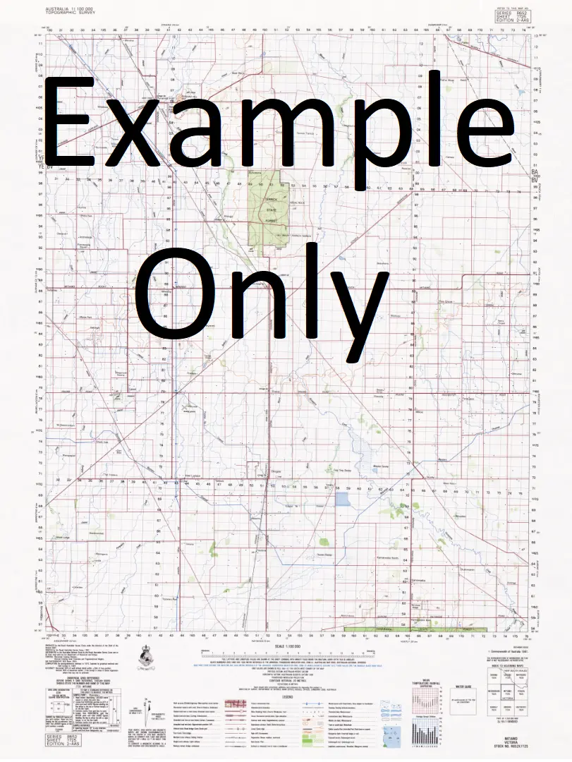
At this scale, 1cm on this map represents 1km on the ground. A standard map (which is square) covers an area of approximately 54km by 54km, with a contour interval of 20m. This map contains natural and constructed features including road and rail infrastructure, vegetation, hydrography, contours, localities and some administrative boundaries.
Please note the date of the map, as this will impact the currency of information, particularly regarding infrastructure, roads, etc.
Locations within this Map
Napier Catch Pioneer Dam Johnson New Dam Coombalarnie Dam Eurinilla Dam Waite Lake Umberumberka Creek Willyama Horse Shoe Lagoon South Willows Dam Lake Tinko Station Lake Benagerie Coolibah Dam Lake Tinko Benagerie Lake Tarkarooloo Treloar Dam No 2 Emu Dam Lake Yantawena Lake Tom Wynaroo Hut Lake Mongala Cooraninnie Dam Freckleton Dam Lake Yandra Wild Horse Lagoon Rutherford Dam Billeroo Waterhole Coombs Springs Rocky Dam and Catch Blueshirt Dam Luckyhit Bore Long Swamp Lake Burnadgera Sullivan Dam Coombs Bore Lake Namba Leslie Dam Lake Pinpa Black Oak Bore Box Swamp Dam Treloar Dam Number Two Oonartra Creek
Explore more from our collection.


Reviews
There are no reviews yet.