
Description
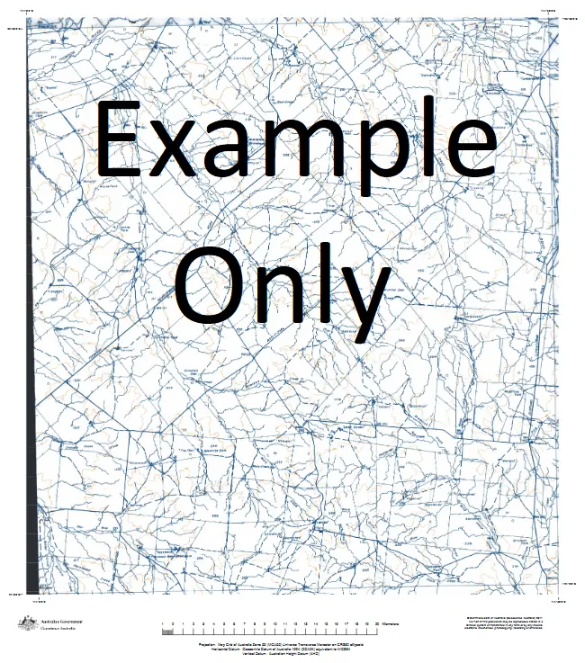
This Topographic Map is produced by Geoscience Australia; Australia’s national geospatial organisation.
GA topographic maps (many of which are produced in partnership with the Army) are generally older than those maps produced by the State Governments over the same area. This makes GA maps particularly useful for identifying historic features, such as old mines and diggings.
Geoscience Australia maps generally considered to be more pleasing in design and compilation then the more modern State Government productions.
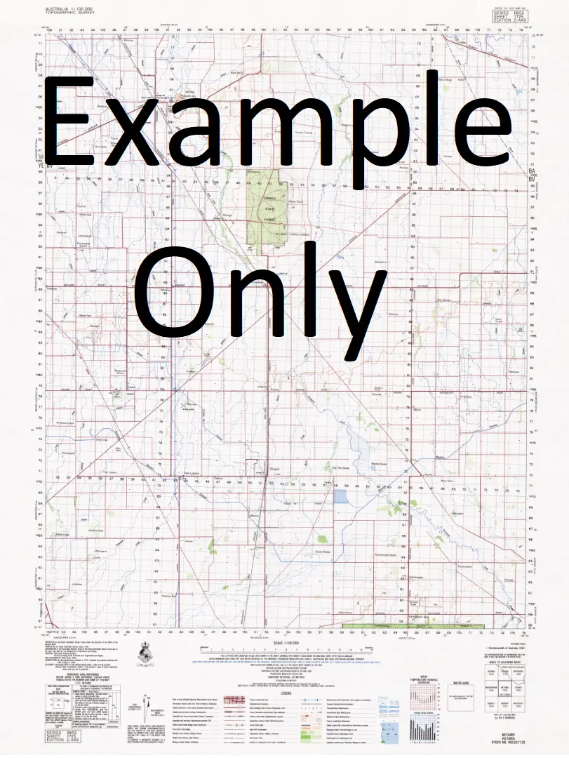
At this scale, 2cm on this map represents 1km on the ground. A standard map (which is square) covers an area of approximately about 25km by 25km, with a contour interval of 10m. This map contains natural and constructed features including road and rail infrastructure, vegetation, hydrography, contours, localities and some administrative boundaries.
Please note the date of the map, as this will impact the currency of information, particularly regarding infrastructure, roads, etc.
Locations within this Map
Crown Hill Cullanjacky Creek Isabel Bore Mount Crawford Mount Mervin No 20 Bore Ogden Bore Victoria River Number Twenty Bore
Explore more from our collection.

Reviews
There are no reviews yet.