
Description
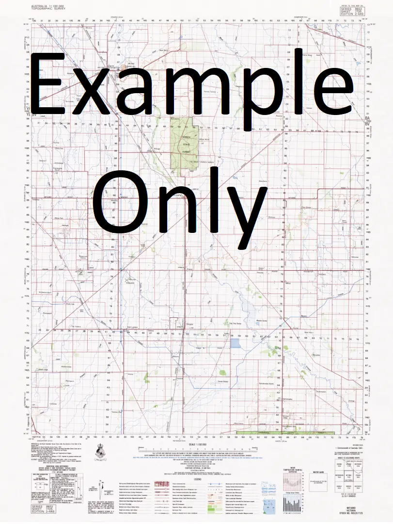
This Topographic Map is produced by Geoscience Australia; Australia’s national geospatial organisation.
GA topographic maps (many of which are produced in partnership with the Army) are generally older than those maps produced by the State Governments over the same area. This makes GA maps particularly useful for identifying historic features, such as old mines and diggings.
Geoscience Australia maps generally considered to be more pleasing in design and compilation then the more modern State Government productions.
At this scale, 1cm on this map represents 1km on the ground. A standard map (which is square) covers an area of approximately 54km by 54km, with a contour interval of 20m. This map contains natural and constructed features including road and rail infrastructure, vegetation, hydrography, contours, localities and some administrative boundaries.
Please note the date of the map, as this will impact the currency of information, particularly regarding infrastructure, roads, etc.
Locations within this Map
Bertiehaugh Agnew Antrobus Archie Creek Barlow Batavia Beevor Bertiehaugh Creek Blake Catfish Creek Charger Creek Ducie River Dulcie Creek Dulhunty River Dumfries Egmont Gibson Waterhole Ling Creek Nimrod Creek North Alice Creek Packers Creek Palm Creek Pargon Creek Sandfly Creek Small Pargon Creek South Alice Creek South Palm Creek Stormont Weipa Wheeler Creek Cape York Peninsula Catfish Landing Bertie Haugh Station Ducie Creek Jardines Landing
Explore more from our collection.


Reviews
There are no reviews yet.